
With any tech, it can be easy to stick to the features you’re familiar with, but let’s not forget what else LandInsight can offer you.
Whether that's a small feature, an advanced search or creating alerts, all will contribute to helping you identify and assess sites quicker. So, let’s go!
1) Customising your map
-
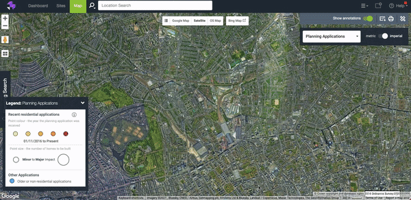
Make the most of map visuals
Whether you’re reviewing new areas or wanting to focus on a specific council, I’d highly recommend turning on your map labels and council boundaries to help navigate around the map.
-
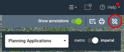
Annotate your map
Need to draw out a site plan or map out an area of interest? Click into the drawing on maps toolbar to use the variety of shapes one can draw on the map, as well as plotting points of interest (like schools or transport) and ability to add text annotations.
-
Get the most from OS Map Views
You’re probably aware that you get 100 OS Map Views per user per month, but that’s more than enough if you use them correctly!
Navigate to your site using Google map or satellite view, zoom into the right level, then jump into OS Map view.
This means you’ll only use a couple of views (but don’t forget to jump back out of it when you’re done!)
2) Making the most of your site searches
-
Get your criteria right
The planning search (found in the planning applications data layer) is key to filtering through planning applications you specifically want to review and identify. So what criteria can you search for? Things like:
- Application Decision
- Type of Application
- Residential & Units
- Use Class
- Applicant Name
- Any keyword found in the description of an application
- Application Reference Number
-
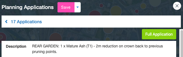
Review the full application in the councils portal
Don’t forget you’ve got the full application button which will take you straight to the planning application in the councils portal, where you can review documents, comments etc.
It's a real time saver!
-
Create some Planning Alerts
Great to set up if you’ve got time constraints, these alert you via email to inform you of decision changes on planning applications in an area you’ve selected.
Find out more about planning alerts here.
3) Tracking all the opportunities
-
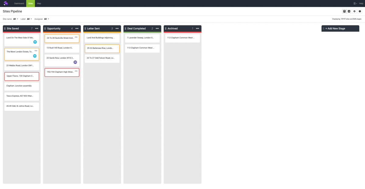
Save sites often
This is a key feature we tell customers not to miss out on. Saving a site stores it into your pipeline so you can keep track of any sites – whether opportunities, sites you already own, or even competitors’ sites
It outlines on the map too, so a great visual for what you’re working on.
-
Manage your sites pipeline effectively
You’ve set up your stages, great! Now go that one step further adding labels to them, for example ‘planning rejected’ or ‘client xyz’.
You can then filter your pipeline to only see sites with specific labels – quick, easy, and clear.
See more about searching through your sites here.
-
Download full site reports
It’s time to export that information from LandInsight and what better way to do that than a detailed site report in Word format?
Select the data you wish to export, download it, customise it and share it with your colleagues or clients.
Learn more LandInsight tips with our webinar
Those are some of my biggest tips, but we recently ran a deep dive on how to really get the most from LandInsight. If you want to see more, check out the video below.